Thur - July 8th
These two fawns were in the next door neighbor's yard while we were camped in our daughter's driveway in Helena. Their mother was nowhere around, but I saw her walk by with them a couple  of days later. Deer are a common neighborhood sight everyday.
 of days later. Deer are a common neighborhood sight everyday.
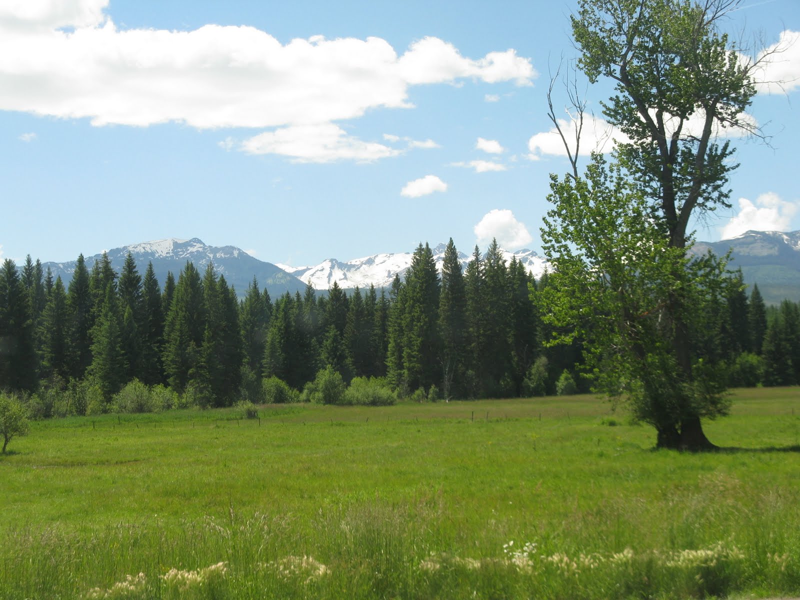
 This is a view as we were approaching Glacier National Park in the Flathead National Forest area.

Another view along the way. We saw these mustard fields occasionally from Williston to Helena, but there were lots of them in this area. Very colorful.

Great scenery in Glacier Park. Hard to take a bad picture. I took about 400 pictures.
 Glacier National Park, "Crown of the Continent", is 1.2 million acres of shining mountain ranges, deep valleys and lakes carved by prehistoric ice rivers. It has glistening glaciers, alpine meadows, dense forests, waterfalls and over 200 sparkling lakes. It is the third largest national park in the lower 48 states. It has 936 miles of rivers and streams, over
  700 miles of trails and very few miles of roads. We took the Going-to-the-Sun Road, a 52 mile scenic highway that crosses the Continental Divide at Logan's Pass 6,646 feet.
 You can take a tour thru the park in these vintage Red Buses that were purchased from 1936 to 1939. They are called "Jammer Buses" because of the way the drivers always jammed the gears when shifting on the rugged mountain highways. They have been recently refurbished by Ford and use propane power for the park's cleaner future. There
  are also free bus shuttles to limit the number of cars in the park.
 Melting snow and ice transforms itself from a quiet trickle to a thundering stream into a tranquil lake.

We hiked the Sunrift Gorge Trail to the bottom to see Baring Falls. It is a staight, steep canyon cut thru bedrock, formed by a small stream cut thru a natural break in the rock.
 In 1850 there were 150 glaciers. Now 26 are left. Global warming scientists say they will all be gone by 2030. An increase in hot summer days (90 and over) and a decrease in the number of days of frost have resulted in larger and more severe wildfires. Damage from pine beetles and root diseases has also increased since the trees are weakened from
  drought.
This is at Logan's Pass showing the first part of the mile and a half hike I made up the snowy mountain to see Hidden Lake and mountain goats, Glacier's official symbol. It was 61 degrees at the pass, but 83 down below at the river.
 When I reached my destination, there were many snowboarding tracks way above me, so they were hiking a long ways to ride down on their boards. I wished I had brought my skis with, so I could ski back down. I met a lady coming down on her skis.
I had no idea I would get to see mountain goats up close like this.

There were more on a little rim just above the trail, and still more way up above.

View of Hidden Lake. It was very slippery going back downhill in the melting, slushy snow.

Another view along the trail down.

Another view of Hidden Lake.

This is looking back at Logan's Pass. I was hiking in the snowy area at the base of the peak on the far right. Someone told us that the pass was higher than any of the mountains in the Appalachians.

St. Mary's Valley near the end of our 52 mile drive. Waterton Lakes Park just over the border in Canada was established in 1895 and Glacier in 1910. Their adjoining locations led to the world's first International Peace Park in 1932. You can take Historic Boat Tours from one park to the
 other, but you must have your passport. The boat docks below the north face of Mt. Cleveland, the highest cliff wall in the continental U.S. You can also take boat tours on Lake McDonald in Glacier. It is a 10 mile long, u-shaped lake formed by a melted glacier.
This is an osprey in it's nest at the St. Mary's shuttle stop at the end of the Going-to-the-Sun Road.

There are wildflowers everywhere. Amazing considering the snow has only been gone a few weeks.

Views of St. Mary's River. It is only two miles long and then flows into Flathead River, which flows right by our campground outside of the park and eventually into Flathead Lake.


View of Jackson Glacier.

More wildflowers.

Sunrift Gorge with flowers growing out of the rock walls.

Seems like good advice. Someone should have told me about 37 years ago.
 Did you know grizzly bears gain several hundred pounds every summer eating grass, roots and berries? When huckleberries are in season they will eat as many as 100,000 berries a day. Can you imagine picking that many berries? The huckleberry shakes are awesome!
Here we are camped at Spruce Park RV Park just east of Kalispell on the Flathead River. We stayed here three nights. What a beautiful view. I even got a lesson on casting from an old duffer who was fly fishing off shore.

View from our campground toward Glacier.

Whitefish Mountain Ski Resort.
Amtrak stops at Whitefish.
 Whitefish Lake.
On our way over from Helena, we took Hwy. 141 at Avon just past Mc Donald's Pass 6320'. Then we took Hwy 200 just west of Lincoln (home of the unibomber) and Hwy. 83 north to Kalispell.
Heading for Idaho,
Tarra