Sat, June 23rd - Mon, June 25th
 "Come on. It'll be okay. I know a short cut." Where have I heard those words before? As usual, it turned out to be more of an "adventure" than a short cut. But the lupine blooming all over in the woods were beautiful, we got lots of exercise and we eventually found our way into Whitehorse from the campground.
  In the upper left-hand corner is the S.S. Klondike, a sternwheeler that is now a museum. After checking out the Visitor's Center, we watched a little parade that was going on downtown with some bagpipers, veterans and a few old people. Turned out the elderly people were from France and were being honored for taking care of the graves all these years, of some of their Canadian soldiers who were killed in France in WWII. Very touching.
  We had a very nice lunch at this quaint little Northern Klondike restaurant downtown that is in the two oldest buildings still in use since goldrush days. In the 1930s it was a carpentry shop where coffins were constructed. Thank goodness that business "died". John had the fish and chips and I had a wonderful little dish with halibut and artichoke in cream and cheese dip with foccacia bread. Mm, Mm! Then we checked out the Old Log Church Museum, one of the original churchs in town, a small collection of stuff about the first missionaries and the aboriginal peoples. Then we did the McBride Museum with history about the Whitehorse area, goldrush, and a nice collection of mounted Alaskan animals. On the way back to the campground, we finally found the trail we had been looking for earlier.
Oh my, we were breathing heavy by the time we got to the top of these, 13 flights of about 20 steps each. A person would surely be in good shape if he climbed these every day. But it surely would have been a lot easier going down these steps, than the crazy, steep trail/non-trail we took thru the woods trying to find our way into the downtown this morning.

We went to the art mueum at the college another day, which is also up on the cliff overlooking town. This is one of the outdoor sculptures. The artist said he got his inspiration from something he read about the imprints of vaporized bodies being found in Hiroshima after the atom bomb was dropped. I just stood there and stared at it after I read that. I couldn't begin to express my feelings. It just sort of stopped me in my tracks, speechless.
 Just a few views walking back along the cliff to our campground. The population of Whitehorse boomed during gold rush days, but shrunk to 400 after WWII. In fact, the population of the whole Yukon was only about 5,500. It grew again during WWII with the building of the Alaska Highway and the Canol pipeline. Today the population of the Yukon is 30,000 or so, with only three towns of over 1,000 -- Watson Lake, Whitehorse and Dawson City. It's a huge land area with a very small population.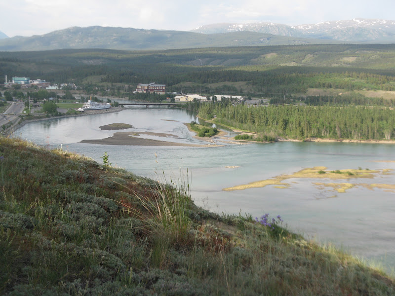
You can see the S.S. Klondike again in this picture on the south end of downtown.

As we were walking along, John spotted this bald eagle in the top of a pine tree. We watched it for a while and he finally took off and flew a little ways away to the top of another tree. As we watched, a small bird started dive bombing him, and he kept on doing it over and over many times.
 Finally, the eagle decided to fly away to another place, where the little bird followed him and continued to harrass him along with a couple more little birds that had joined him. Eventually there were seven or eight little birds, flying around harrassing him and he had to give up and fly away. Must have been their territory. I was so surprised that those little birds would challenge that big eagle, and that he would let them get by with it.
Finally, back at the campground, all tuckered out. These two vehicles are just decor at the campground. Everywhere we go, there are abandoned vehicles from the building of the Alaska Highway being used this way.
 Another day we visited the Yukon Transportation Museum which is also up on the cliff, so we didn't have to do the steps or steep trails that day. This little guy was the forerunner of the skidoo and was the first motorized vehicle at the North Pole traveling 826 miles over snow and ice in 43 days. It was a godsend to trappers, prospectors and mounties and created a whole new fun sport for the rest of us. They had army vehicles, construction equipment, buses, cars, fire engines, float planes, etc.
The museum is right next door to the airport and at the museum entrance is this plane that is a weather vane and always points into the wind. It is kind of cool to watch it turn, as the wind changes. A short way down the road is the Beringia Interpretive Center about the history of the Bering Strait land bridge where the animals and aboriginal peoples came over from Asia, mammoths and such.

About twenty miles north of Whitehorse, we spent the night at Tahini Hot Springs. It's very nice, but I liked Liard Springs much better. This one is more resort-like. They have a zip line and there was a group of kids there using it that I could watch while I soaked.
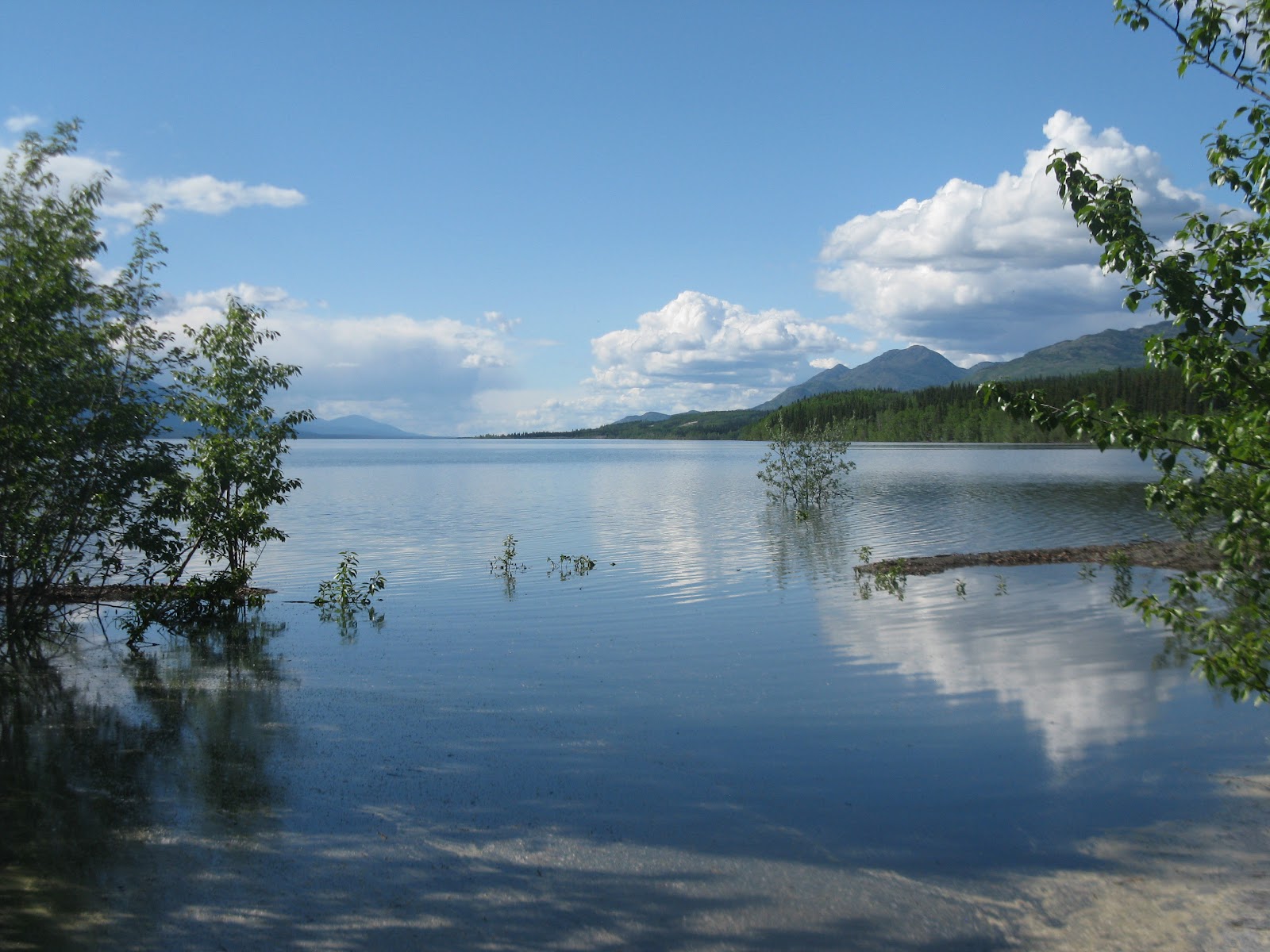
 This is Lake Laberge. Another of the wonderful Yukon Campgrounds is here. Do you remember any poems by Robert Service from your time in school as a youngster? He lived in both Whitehorse and Dawson City for a few years each before he became famous. "The northern lights have seen queer sights, but the queerest they ever did see, was the night on the marge of Lake Laberge, I cremated Sam McGee."
I love his poems. He wrote over 2,000 and I plan to check out some of his books from the library and read some more of them, next chance I get. In case you've never read it and would like to, here's the full poem. Just along the road down to the lake, we stopped at Mom's Bakery for lunch, on the advice of the Milepost book.
 It turned out to be very good advice. I had a bowl of halibut chowder (maybe the best ever) and a piece of sourdough toast. John had sourdough pancakes, he said were very good. Mom is just a little bit of a woman and looked like she must be close to 70, and she had a certificate on the wall for doing the Yukon Quest in 1993. That's the longest sled dog race in the world, a 1,000 miles from Whitehorse to Fairbanks or Fairbanks to Whitehorse, alternately. These days she closes up shop (it's just her home) and spends the winters in Mexico. Another couple stopped while we were there and said they had just seen a grizzly down the road by the mail boxes, but he was gone by the time we went back by there.
  Fox Lake Government Campground. In 1998 there was a forest fire near here caused by campers who failed to properly extinguish their campfire. The fire danger was extreme and strong winds quickly whipped the small blaze into a major crown fire that roared thru the treetops. Efforts continued all summer to contain the fire. It stayed alive through the winter smouldering in the ground. In the spring it was extinguished by digging it out. It cost $2.2 million to fight and altered the look and life of the landscape. During the fire fighting four crew members were trapped and forced to take cover by jumping in a nearby pond for two hours.
Continuous beautiful wildflowers along the highway.

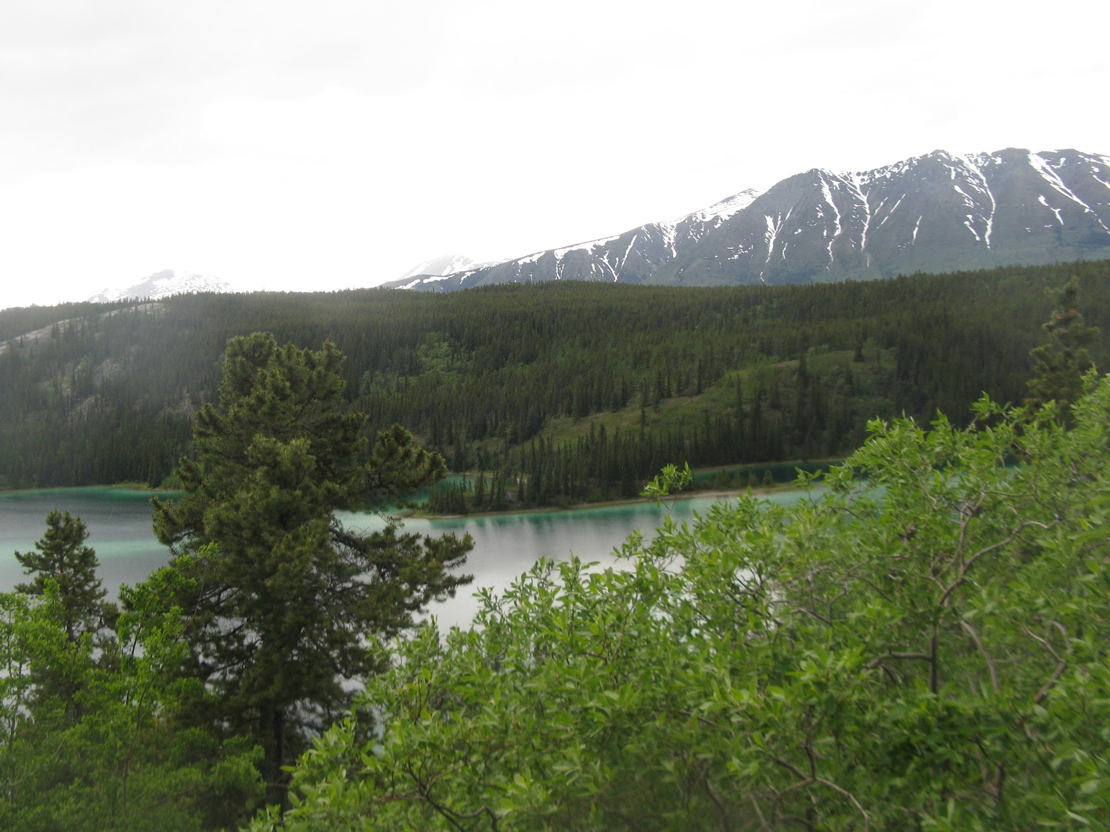
Turquoise views of Twin Lakes, one on either side of the road.

And just a few more flowers overlooking one of the Twin Lakes. I love flowers. I bet you couldn't tell.

Montague Roadhouse, just one of the many historic roadhouses that were every 20 or 30 miles along the Overland trail for stagecoach guests and other travellers to spend the night in. Now there are just prickly roses and other wildflowers growing in what is left of the ruins. It was built in 1915 and used until sometime in the 1950s.
 Further down the road in Carmacks at the mouth of the Nordenskiold River is a two-story, twelve-room roadhouse in much better shape, but the owner's sod-roof cabin across the road was a more interesting picture. Can you see it? This was an important stop for the sternwheelers. In one year (1915) the sternwheelers of one company burned 8,000 cords of wood. Cutting down trees for them and stacking the wood at river stops was big business and many native people were hired to cut wood.
  Carmacks has a boardwalk the whole length of their little town, right along the Yukon River, with interpretive markers on all the old cabins, relics and roadhouse along the way. It's a nice half hour stroll with tons of wildflowers and beautiful views of the river and mountains. If you do it during the Carmacks village office hours, you can stop and pick up a certificate signed by the Mayor. Gee, I wish I'd known that! I could have hung it up in the RV with all the pictures of the grandkids, or not. There were three successful coal mines in the area. Placer gold was discovered here in 1899 and the first lode gold in 1943 and prospecting still continues today.
"What? More stairs!" There is another whole separate section of them down in the trees that we couldn't see from the top, plus a half mile hike thru the woods out to the Five Fingers Rapids, the most dangerous section of the Yukon River that the sternwheelers and the overloaded boats and rafts of the gold stampeders had to maneuver on their way to Dawson City.
 Between 1900 and 1927 they used dynamite to blast away some of the rock and widen the passage by 20 feet. And once again, back up the hill and then the steps. But really, I'm not complaining. I love hiking through all the beautiful scenery and getting a close-up view of everything. It's really awesome to be here and see all this beautiful country and wildlife. The sternwheelers used 90 to 100 cords of wood on a round trip from Whitehorse to Dawson.
  Once again we took the advice of the Milepost and stopped for the biggest cinnamon roll in the world at Braeburn Lodge, which is one of the official stops on the Yukon Quest International Dog Sled Race. It is on a regular size paper plate next to a serving of lasagna. It cost $9.00 and took us three days to eat it all, but the best thing I can say about it, is that it certainly was big, otherwise really nothing special. There was a picture of Steve McQueen on the wall riding a motorcycle that he bought here from the owner of the place.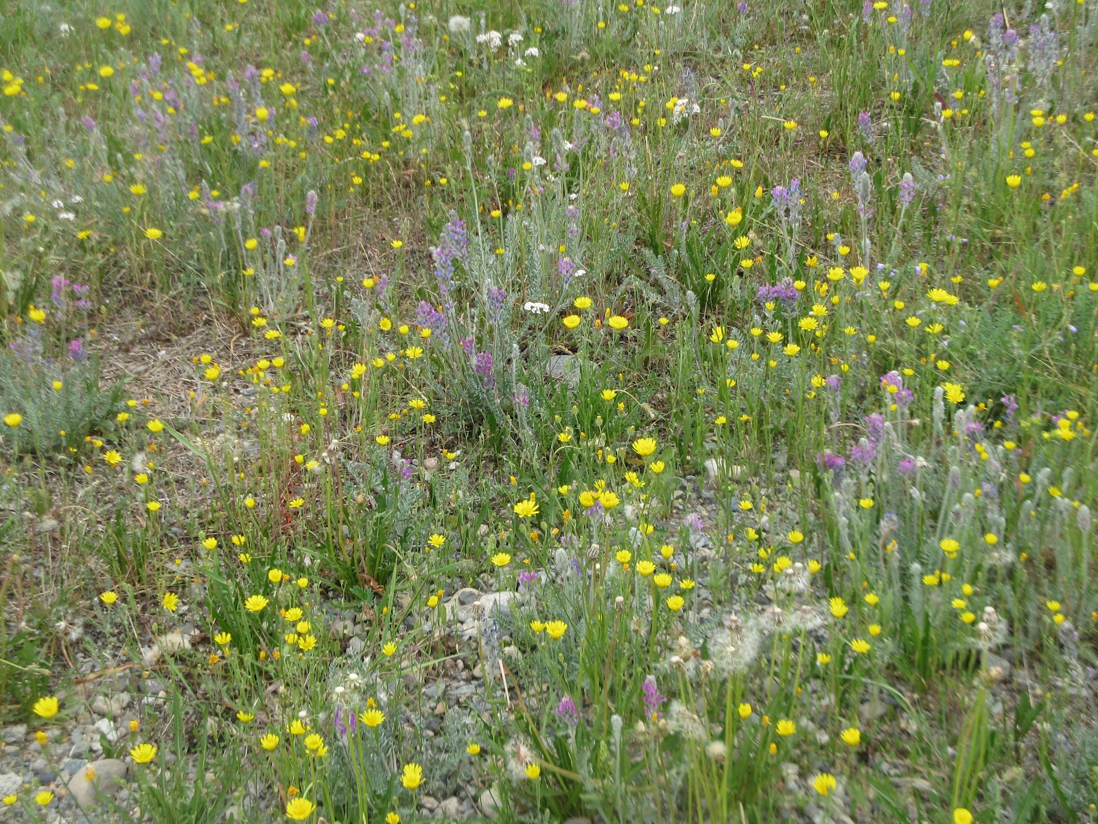
Just a roadside view of some of the wildflowers.

Tachun Creek Government Campground where we spent the night camped right next to a creek where the salmon come up to spawn in August. We could here the water rushing by from the rapids all night; so peaceful.
 This is on the road up to Mayo, a little mining town on the Silver Trail/Yukon Highway, a little side trip off the road to Dawson City. The United Keno Hill mine north of Mayo was once the largest silver ore producer in North America. It ran from 1929 to 1989. There are still many small-scale gold placer mines running here. There were piles and piles of chopped down trees along this road for several miles. It's really nice when they keep the ditches cleaned back like this, so you can see wildlife before it walks out on the road, but most of the roads in the Yukon have been kind of overgrown with small trees and shrubs, unlike BC which was very well-maintained.
  We spent the night at Moose Creek Campground a short way north of this lodge. We walked in here to Moose Creek Lodge (oldest still existing roadhouse on Klondike Hwy) for supper and met this man taking a break from his bike ride. He was from Spain and riding around the world. Yesterday we met a couple of older guys, around 60 or so, from Juneau who were just spending ten days riding around the Yukon. One of them had ridden across the U.S. the year before with his wife and they had gone through South Dakota. I went on a hike from our campground down to Moose Creek and Stewart River. I saw what appeared to be bear poo along the trail. I wore my rain jacket and pants, but the skeeters were so vicious, that by the time I got back to the camper, I was almost wishing a grizzly would come along and eat me and put me out of my misery.
The Yukon is a wealth of minerals, including gold, silver, copper, zinc, coal, emeralds, diamonds, etc.& their economy is based on it.
We'll be in Dawson Creek tomorrow. More then.
Tarra